As a Senior Party Chief, and a crucial member of our operations solution, you will work with other team members to execute projects effectively. Your role is to lead field activities completing tasks in a safe and timely fashion while working collaboratively with all parties.
Responsibilities
Under the supervision of Project Managers you will coordinate and execute field surveys using a variety of tools and techniques. You will oversee and direct field activities of junior staff. You will be an effective member of the team providing positive feedback and collaborating for continuous improvement.
Qualifications
Preference will be given to graduates of geomatics (surveying) technology programs with extensive experience on municipal, infrastructure and energy projects.
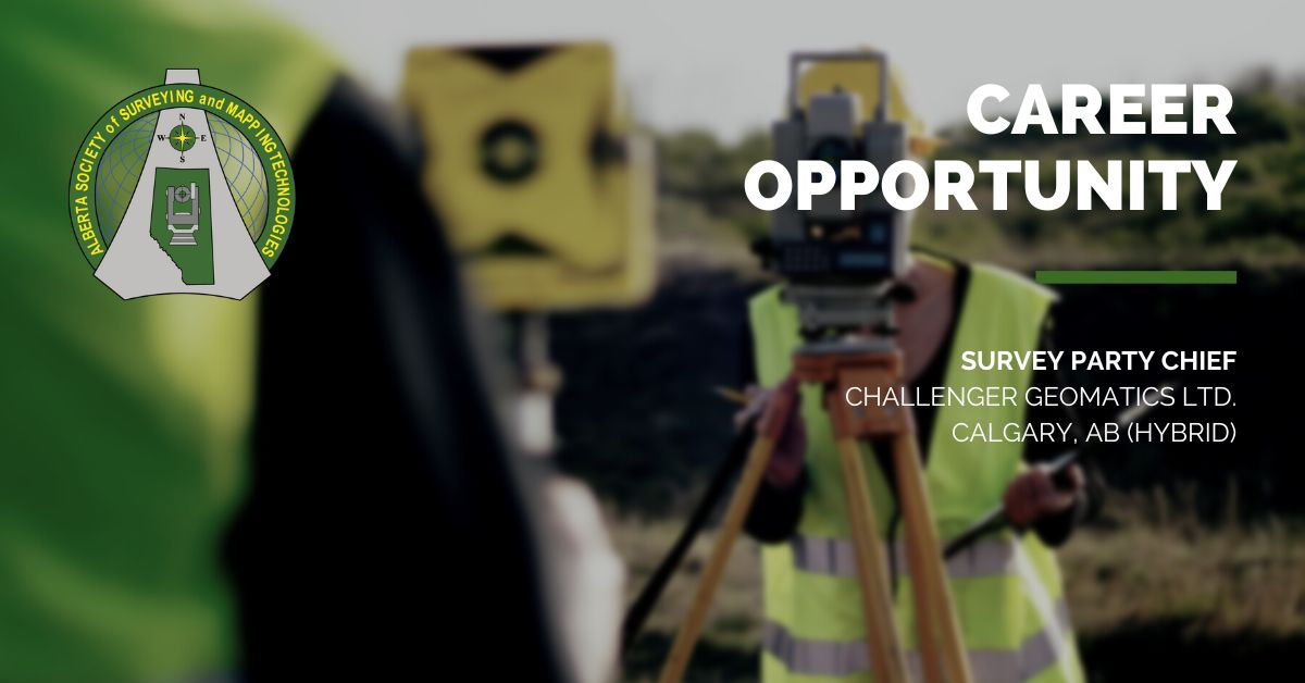
About Challenger Geomatics Ltd.
Challenger Geomatics Ltd. (Challenger) is a proudly employee-owned Canadian geomatics company with offices in Calgary, Edmonton, Fort McMurray, Whitehorse, and Yellowknife. Incorporated in 1984, Challenger provides innovative multi-disciplinary survey, Geomatics and engineering services to the oil and gas, construction, municipal/government, mining, utilities and land development sectors.
Challenger’s corporate objective is to offer innovative and professional geomatics services. We achieve this objective by providing our clients with the academic background and hands-on expertise of our professional staff. Our team includes professional land surveyors, professional engineers, software specialists, cartographers, hydrographers, survey technicians, drafting technicians, photogrammetrists, GIS technicians and support personnel.
Surveying Services:
- Oilfield Surveys (Wells and Pipelines)
- Oil Sands specific services
- Site Surveys, Topographical Surveys, and As-Builts
- Legal Surveys
- Construction Surveys (Roads, Grading and Underground Utilities)
- Construction Building Layout (Piles, Gridlines, and Structural)
- Mining Surveys (surface and underground)
- Commercial and Industrial Real Property Reports
- Condominium Plans
- 3D Laser Scanning (facilities, as-built, quantities, etc.)
- Deformation Monitoring
- Offshore and Hydrographic Surveys
- Legal Surveys Relating to Land and First Nations
- Control Surveys
- Unmanned Aerial Vehicle (UAV) Surveys
Other Professional Services:
- Photogrammetry
- CADD and Custom Mapping Services
- Software Development to support the above services
- First Nations Traditional Knowledge Studies